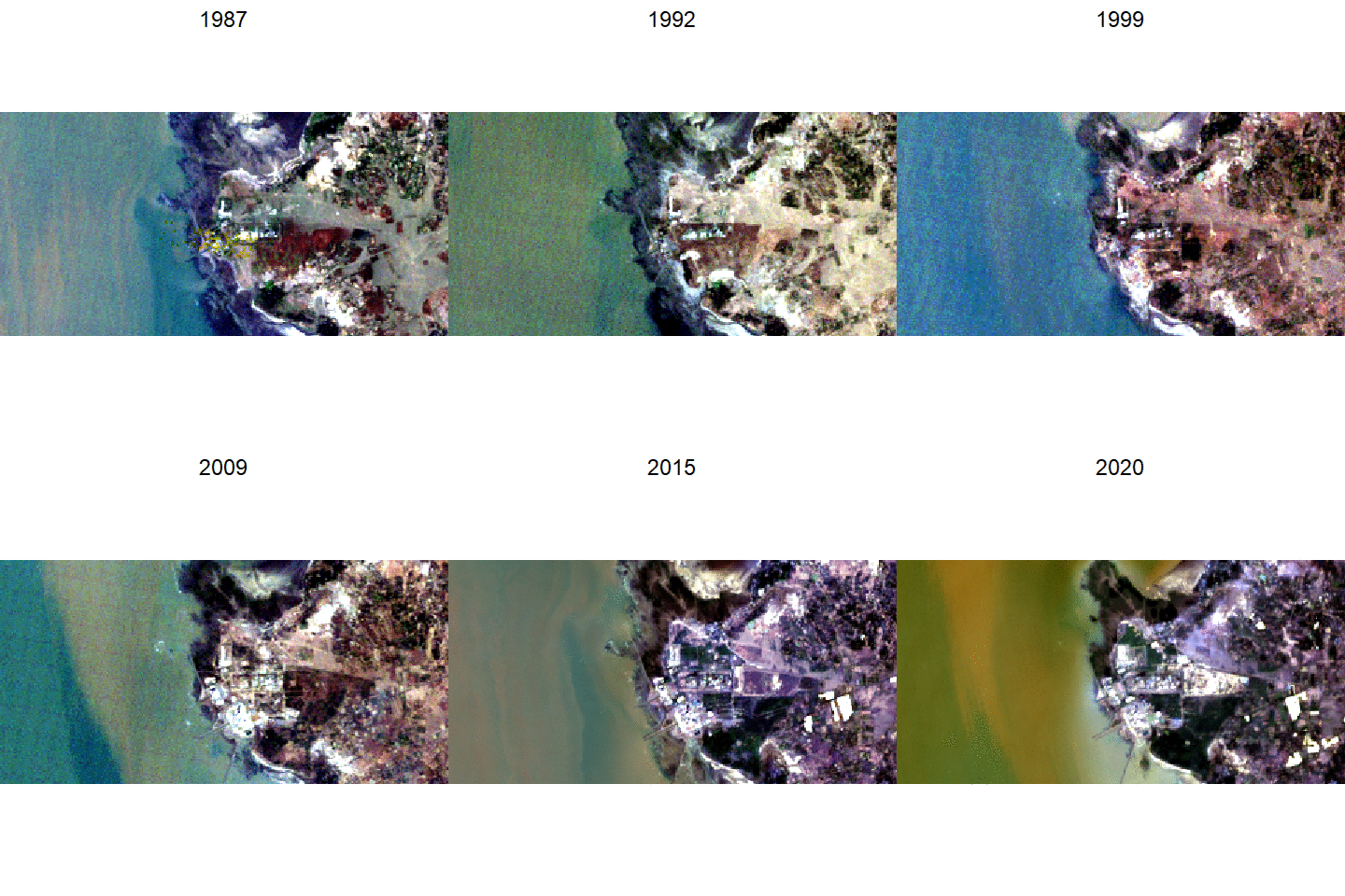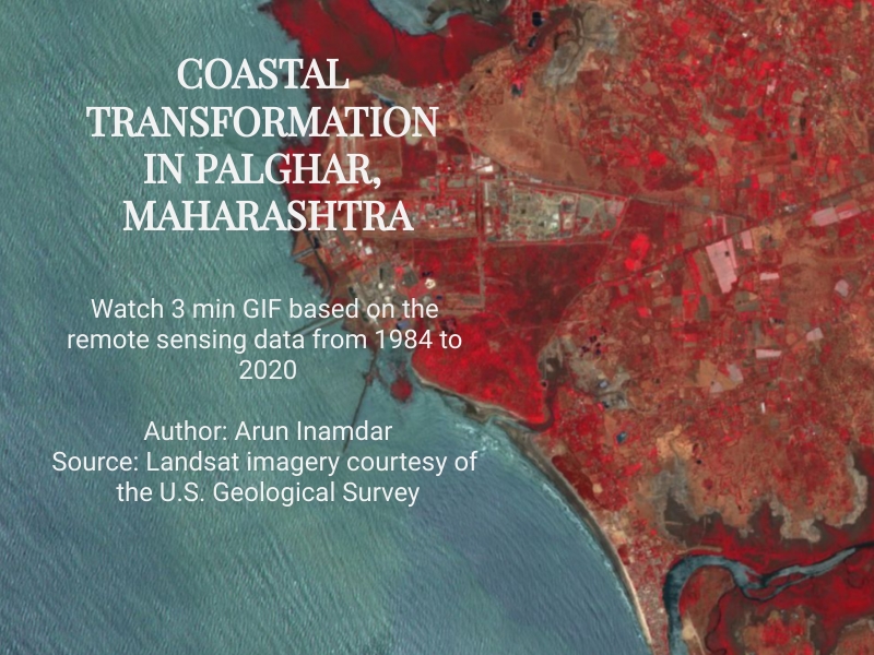
Palghar district, north of Mumbai in Maharashtra state, is a coastal zone with historical significance for small scale fisheries in India. Industrialisation and pollution over the previous five decades have severely curtailed small-scale fisheries, resulted in land degradation, and changed natural land cover with severe implications for biodiversity, livelihoods, and human health.
The GIF refers to the location of the Tarapur Atomic Power Station (TAPS), Palghar, Maharashtra, India; the images pertain to the years 1987–2020. The region witnesses dynamic tidal behaviour along the coastline; dense sediment deposition is noticeable from 1987 onwards. The construction of TAPS, the first commercial nuclear power station built in India, was started in 1969 and is visible in the imagery from 1987 onwards. The expansion of the additional units of TAPS can be observed further from the year 2000 onward. The significant change from natural land-cover to anthropogenic land use, which is predominantly industrial and urban, can be observed from 2010 to 2020. Further, an increase in vegetation surrounding the TAPS area is also observed from the NDVI analysis on a yearly scale. However, this is in the form of exotic, invasive, and alien species that have led to monoculture, supplanting the wetland biodiversity in the area.
Credit: Arun Inamdar

