India, Cuddalore, Bay of Bengal 1988-2020

The city of Cuddalore in Tamil Nadu, historically recognised as the first settlement of the British East India Company, has been a focal point for industrial development since colonial times. Its coastline is representative of the recent challenges faced by seashores and coastal settlements as a result of rapid urbanisation and industrialisation.
Since the late 1980s, Cuddalore has become a hub for semi-industrial fisheries and for medium-scale industries (chemicals, drugs, pharmaceuticals and petrochemical engineering). The result has been growing pressure on the coastline towards the south, a general threat to marine and coastal ecosystems, enclosure of coastal commons, large-scale migration of labour from both agricultural and fishing villages, and, most importantly, new challenges to coastal communities who have sustained the coast for centuries.
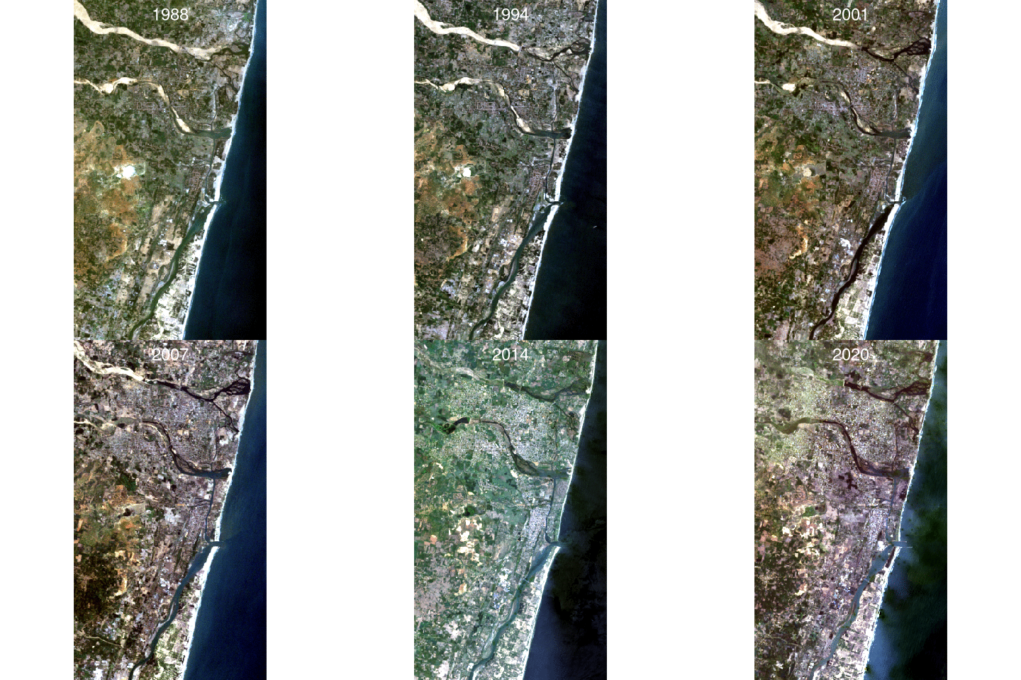
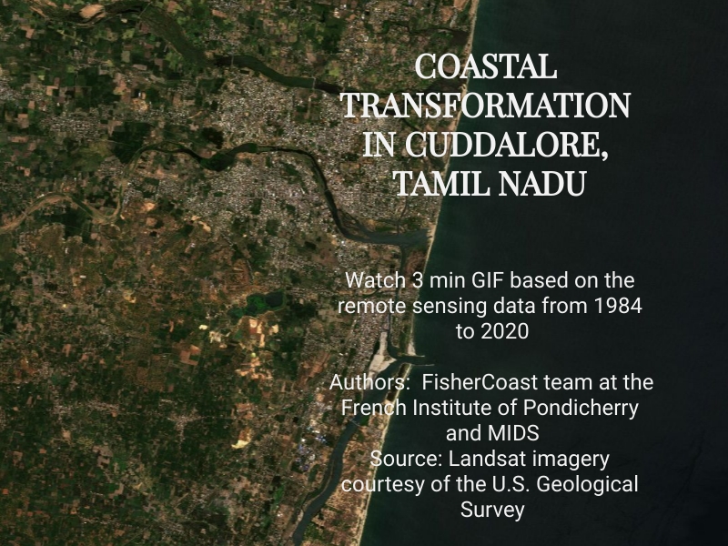
This animation illustrates the changing landscape of Cuddalore, due to coastal industrialisation and urbanisation, for the period of 1988-2020. The local geography shows a very fragmented urban landscape (built-up areas are grey and heterogeneous, streets sometimes are more visible than buildings), encompassed by a maze of waterways (either clear brown for turbid waters or black for clear waters) and by a network of roads (grey lines). The surrounding rural landscape is a mosaic of brown and green rectangles due to crop rotations. The 1988 image shows (in light grey lines) the main streets of the three centres, which constitute the present-day Cuddalore urbanscape. The first is built on the ruins of the historical Fort St David between the northern banks of the two legendary rivers, Thenpennai and Kedilam. The second, located on the southern side, corresponds to the first extension of this nucleus, separated from the old town by a bridge. The image shows a third urbanised area, now called Cuddalore Old Town (OT), which corresponds to the fishing harbour and its industrial infrastructure, mainly warehouses dating from colonial times (notably EID Parrys, a company of the colonial era), and opening up to an industrial corridor (SIPCOT) all along the banks of the Upannar. The other banks are separated from the seashore by cultivated land and small fishing hamlets (Kayalpattu, Raasapettai).
The images relating to 2004 onward show a process of increased urban density, shaping an urban consolidation whose growth is clearly visible (the grey patches join into one big patch that keeps growing). The 1990, 2005, and successive images demonstrate the impact of dams on sedimentary flows of the Thenpennai River, which can be observed in the animation through a brown colour representing the turbid water upstream and a black colour representing the clear water downstream. The impacts of sedimentary flows contribute to coastal erosion and other major morphological processes altering the entire coastline. These changes are most visible between 1988 and 2019. It has been particularly striking since 2011, the year that witnessed the start of the destruction of coastal sand dunes (the white stripe on the coast), which were unique to this coastline.
Credits: FisherCoast team at the French Institute of Pondicherry and MIDS
